

Galle
SL/S/GHRB/M/11
Site "G" · Site "G"
- Period
- Colonial - Dutch
- District
- Galle
- Depth
- 8.00–9.00 m
- Vessel type
- Wooden Sail, Bulk Carrier
Overview
Site G/ Eastern Galle Harbour Wreck –
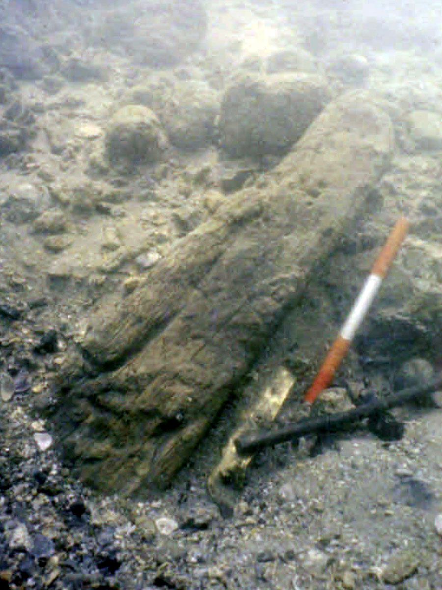
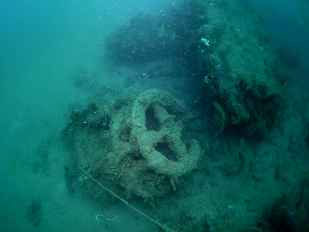
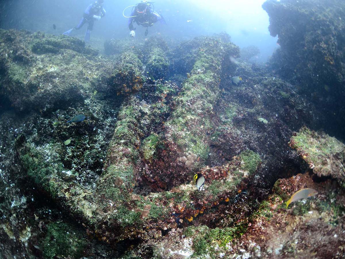
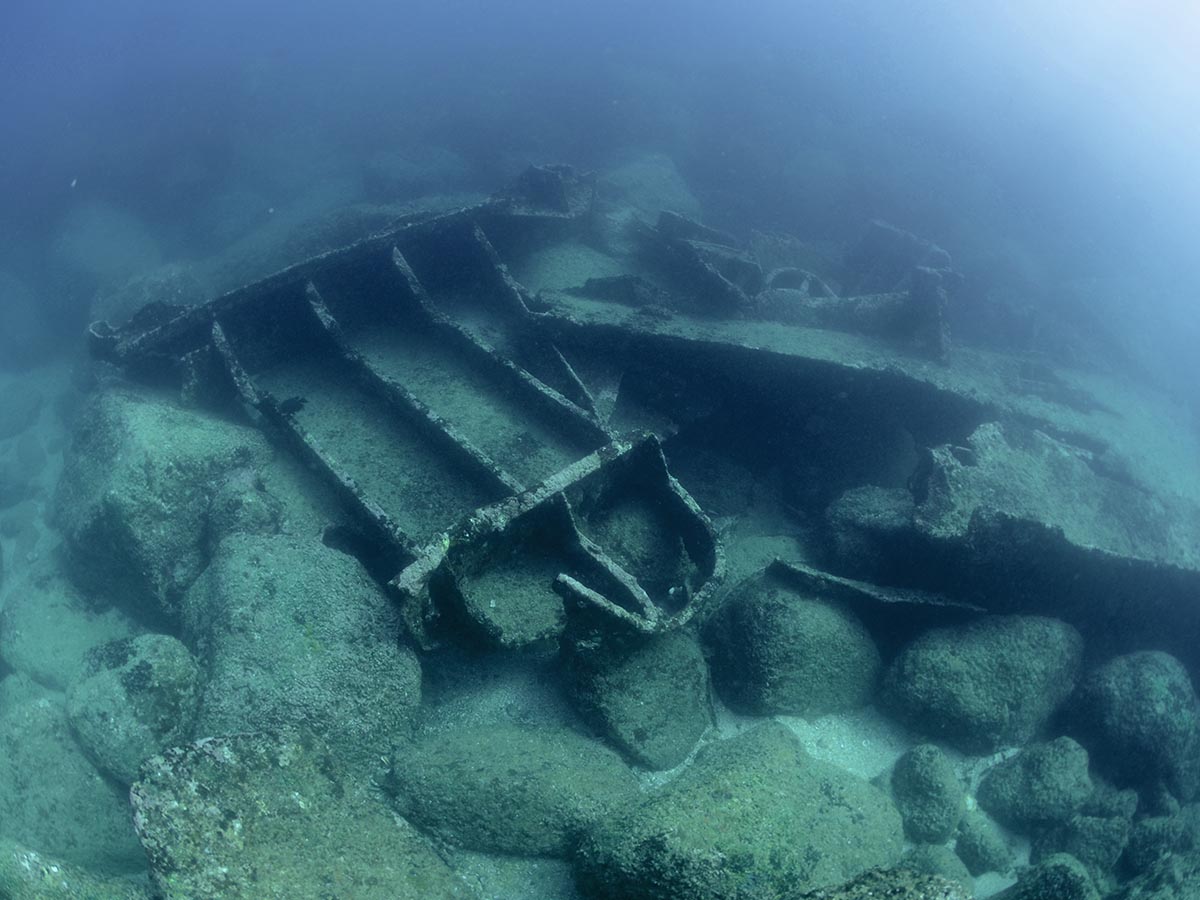
The eastern side of Galle Harbour, near Rummassala Beach, conceals the remnants of a wooden shipwreck submerged at a depth ranging from about 4 to 7 meters. The site showcases a collection of ballast stones, copper nails, lead sheets, and delicate wooden fragments, bearing witness to a maritime past shrouded in history.
Investigations conducted during the Galle Harbour archaeology project in 1992 and 1993 brought to light significant discoveries at the site. Among them were remnants of substantial copper alloy sheathing, indicating a notable presence of metal on the wreck. Artefacts retrieved from the site were meticulously conserved and stored in the laboratory of the Maritime Archaeology Unit (MAU), preserving their historical value.
Scholars have proposed that the remains might belong to the VOC (Dutch East India Company) ship Geinwens, which met its demise in 1775. However, there is no definitive evidence to conclusively identify the shipwreck as Geinwens. Contradictory findings have arisen, strengthening the suspicion that the site may actually be of French origin. Geologists' reports indicate that the ballast rocks discovered at the wreck site are neither Sri Lankan nor Dutch, suggesting a possible French connection. Historical records indicate that the Geinwens loaded additional ballast of local rock, but further archival research is required to confirm its fate and establish its precise location in the bay, potentially as a harbour facility.
Historical record on VOC Geinwens (1775)
The return-ship Geinwens was preparing for the homeward journey to the Netherlands; she loaded cinnamon and cloth in Galle. On 23rd October 1775, the ship set off for Cochin to load pepper, but struck a submerged reef on the way out of Galle harbour. Within hours the ship had been refloated but was leaking badly. On 29th October VOC officials decided to beach her.
'The water had risen to nine feet [in the hold], and was still rising more and more; pumping and bailing with buckets was inadequate to prevent it.'
The officials became very worried about the ship's condition when they noticed that parts of the sheeting and planking were floating to the surface, and the swell in the harbour caused further damage. It was when parts of the false keel (slijtkiel) and a sizeable piece of the keel itself (2.5 feet long, 10 inches wide, and 6 inches thick) appeared at the surface that the harbourmaster* of Galle, the skipper of the Geinwens, and the shipwright, reached the conclusion that the ship was irreparable and had to be given up:
'... therefore, after removal of the rigging and everything else that is still of value, the rest of the ship should be stripped with care so that as much as possible of the timber may be reused.’
It was decided to use the damaged hull as an emergency jetty. To sink the wreck, the hull was filled with stone ballast. In the margin of the official's report, there is one clue as to the place of sinking:
'... to fill the ship with stone ballast to be used in times of distress, to be able to moor or careen ships or other vessels, the place that is most suitable for this purpose is the spot where at normal times there is 13 to 14 feet of water.'
This can be interpreted in two ways. It could mean that the sunken hull was used as a mooring facility, and could be used for repairs when other facilities were occupied; or it could mean that the ship was sunk in a strategic place, where ships which had broken from their anchors could make an emergency stop before running aground or onto the rocks.
Media gallery
·
Location
Exact location withheld to protect this protected site.
For heritage protection, precise coordinates are not published for this site. Only the general administrative area is shown.
Galle, Southern
Protection & status
- Access
- Yes
- Legal status
- None
- Legal status
- Protected by Arch Act
- Archaeological value
- High
- Physical protection
- None
- Degradation
- Very Fragile
- Owner terrain
- Dept of Archaeology
- Owner site
- DoA
- Authority
- MAU-CCF & DoA
- Threat
- Deterioration
- Threat
- Salvage
References & publications
- Maritime Lanka Website https://maritimeasia.ws/maritimelanka/galle/voc_shipping.html
.jpg)